Member of the Association Québécoise de Télédétection (AQT) https://laqt.ca/
E-mail : arthur.bayle [at] unige.ch
Website : arthurbayle.com
Nationality : French / Age : 30
Remote sensing of cold ecosystems
My research focuses on the study of the response of cold ecosystems, from alpine to arctic, to changes in climate and human land use on a time scale ranging from recent decades to the industrial era. As an ecologist, I am particularly interested in the response of vegetation, especially from the point of view of satellite optical remote sensing. I specialize in the use of the Landsat constellation to study these ecosystems, and in the development of tools to take into account the uncertainties inherent in satellite remote sensing. I completed my thesis at the Laboratoire d’Ecologie Alpine (LECA) in Grenoble, France, under the supervision of Dr. Philippe Choler, on the response of alpine ecosystems, particularly the upper forest limit and snowbeds, to climate and land-use change. Satellite remote sensing is at the core of my thesis, but I have also mobilized methods ranging from community ecology to historical ecology. I then continued my research further north, joining the Université Québec Trois-Rivières (UQTR), Quebec, Canada, where I work on the intertwined trajectories of subarctic vegetation and snow cover with Prof. Alexandre Roy and Prof. Esther Lévesque. With a view to opening up to the geosciences and geomorphology in particular, I joined the Climate Change Impact and Risks in the Anthropocene (C-CIA) laboratory in the Department of Earth Sciences at the University of Geneva (UNIGE) as a post-doctoral fellow with Pr. Markus Stoffel. My work focuses on understanding geomorphic processes in Alaska and the European Alps using satellite remote sensing and dendrogeomorphology. As a whole, I intend to take a multi-component look at the response of cold ecosystems to global change, from climate to geomorphology, snow and vegetation. The inserts below show my main research topics and interests, on which I may or may not still be working …
The use of Landsat as a tool for studying mountain ecosystems is the starting point for my research work. Landsat is the only optical satellite constellation now offering 40 years of data at a spatial resolution of 30 x 30 m, well suited to cold ecosystems where geo-biodiversity takes place on a fine spatial scale. However, this advantage comes with significant drawbacks, not least the limited number of acquisitions, which is critical in cold ecosystems with relatively high cloud cover. In particular, as the number of satellites in simultaneous orbit has increased and the quality of acquisitions has improved, the number of usable observations has grown over the last 40 years. This trend in the number of observations introduces a bias in the estimation of the annual green maximum, leading to the appearance of false trends in the estimation of greening. Because Landsat still has a lot to offer, I’m now interested in mobilizing these data in addition to Sentinel-2 to study terrain instabilities by correlating optical images in Alaska and the European Alps. Quite a program… – Refs : Bayle et al. (2024)
Landsat observations in the Northern Hemisphere - Arthur Bayle
Of climate and people - Mountain treelines
The mountain forest tells more than just a biological story, it’s also a story about the trajectory of humankind. Studying changes in the mountain forest, and in particular its upper limit, the treeline, means asking how trees live and survive in the harsh climate of these environments. But it also raises the question of how Man has used this resource, essential up to a certain point in history, and how this use has transformed the alpine landscapes of yesteryear, and therefore those of today. In the southern French Alps, larch trees are making their way up the mountain slopes, now settling at altitudes of around 2,700 m. While global warming undoubtedly favors this dynamic, we may well wonder what role pre-industrial deforestation and subsequent afforestation policies of the 19th century have played in the dynamics observed today. To be continued… – Refs : Bayle et al. 2025Nicoud et al. 2025
La Paye des moissonneurs, Léon Lhermitte, 1882. While Léon Lhermitte's naturalist painting refers to Picardy peasants rather than mountain farmers, for me it evokes the conversion from a subsistence economy to a capitalist one, the great upheaval of the 19th century in our mountains.
The Alps are turning green - who's to blame?
For some years now, there’s been no doubt that the European Alps are turning green. And while it may have made sense to think so in the light of global warming, optical remote sensing has enabled us to confirm it more widely. Yes, the Alps are greening, so what? This radiometric trend may seem sufficient to some, but from an ecological point of view, it is only of diagnostic interest, which we must then strive to translate into dynamics. The radiometric signal detected by satellite simply tells us where the change is taking place and in what magnitude. However, the ecological dynamics underlying this greening remain a mystery. In particular, the problem is that two perfectly distinct dynamics (upwelling of the treeline or colonization of a glacial margin) can present the same “greening” value, thus providing no indication whatsoever of the “ecological” nature of the change. Translating radiometric signals into ecological signals is therefore one of the main focuses of my research, in both alpine and arctic ecosystems. And there’s still work to be done… – Refs : Choler et al. 2021
Landsat-based greening of the European Alps - Arthur Bayle
Feedback loops across northern ecosystems
Northern ecosystems are experiencing faster global warming than the rest of the world. High-latitude vegetation is particularly sensitive to these changes, leading to shifts in the distribution of species, especially woody ones. The shrubification of Arctic ecosystems and associated feedback loops is one of the hot topics in the study of the impact of climate change on cold ecosystems. Which woody species are involved in shrubification? And how does the expansion of woody cover modify ecosystem functioning and processes? I’m working on these topics in Nunavik, a region of Quebec north of the 55th parallel. In particular, I’ve been studying how the expansion of dwarf birch to the detriment of lichen mats has resulted in positive radiative forcing over the past four decades, accelerating global warming. I am also interested in refining our understanding of the greening of these environments by mobilizing floristic survey data to better understand the involvement of different woody species in the radiometric signal. Refs : Bayle et al. 2022Domine et al. 2025
Potential feedbacks from increased density and cover of shrubs to ecosystems processes and properties - Myers-smith et al. (2011)
Glaciers are gone - Long live the plants !
As a result of climate change caused by human activity since the Industrial Revolution, glaciers are melting all over the world, and the process is accelerating. From the end of the Little Ice Age (1850-1900 depending on the region) to the end of the 21st century, glacial decline will have freed up hundreds of thousands of km2. In these ice-free spaces, a diversity of terrestrial ecosystems (rocky areas, grasslands, forests, etc.), freshwater ecosystems (rivers, lakes, wetlands, etc.) and marine ecosystems (fjords, coastlines, lagoons, etc.) are developing, providing an open-air laboratory for understanding the primary development of these ecosystems. The development of these ecosystems is akin to a “catch-up” phenomenon, with the basic question being: What would these places have been like without the presence of glaciers? Remote sensing can be used to answer these questions at large scales, but also and above all to study glacier margins from a geographical point of view, by comparing the margins with their surroundings. This is the direction in which my research into post-glacial ecosystems is heading, in particular through my participation in the Ice & Life project as a member of the scientific committee and remote sensing referent. – Refs : Bayle 2020Bayle et al. 2023
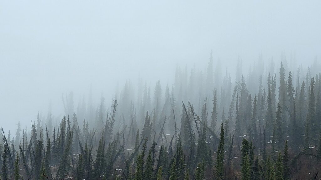
As we now know, the Arctic is warming much faster than the global average. The consequences for these ecosystems are immense, and retroactive loops are being fed with permafrost at their core. Arctic slopes, although often gentler than those of temperate mountains, are the site of a number of major and much-studied geomorphological processes. These include a relatively unique form known as Frozen Debris Lobes (FDLs). Frozen debris lobes (or FDLs) are slow-moving landslides that occur in permafrost. Made up of soil, rock, trees and ice, FDLs are numerous on the southern slopes of Alaska’s Brooks Range. Without getting into the semantic arena of geomorphology (a dangerous game), these objects are described as distinct from rock glaciers by those interested in them. I’m interested in understanding the processes leading to the movement of these masses over time, using satellite remote sensing, and over the long term, reconstructing movements using dendrogeomorphology. This project took me along the Dalton Highway in Alaska, where I was able to explore these forms in the heart of the Brooks Range. – Refs : Frozen Debris Lobes in Alaska